 |
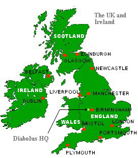
A map of the UK and Ireland. Diabolus HQ is somewhere under the yellow dot. |
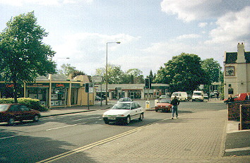
| For all the people who showed an interest, this is a photo of Kingswinford. Right, that's that
then. The rest of these images are a bit more interesting. |
 |
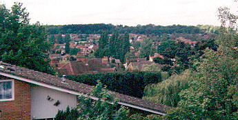 |
This is a view from the Diabolus studio window of the "leafy suburb" bits of Kingswinford. The
wood in the distance is about ten minutes away on foot, and from then on it's all fields. |
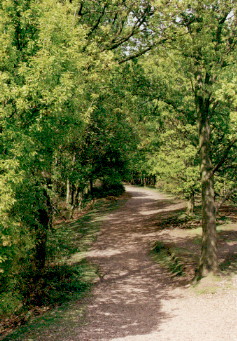
| A walk along the top of Kinver Edge. About 1500 years ago, this was a thriving Iron Age hill
fort, and the old ramparts are still visible. The guys who built it owned most of the land in the
area, and they were doing fine until the Romans arrived. |
 |